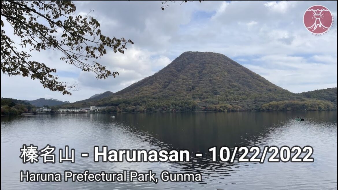
About: Mount Haruna started to form more than 300,000 years ago and the last known eruption was 550 AD. The volcano has a summit caldera containing the symmetrical cinder cone of Mount Haruna-Fuji, along with a crater lake, Lake Haruna, along the western side. To the west of the lake is Mount Kamonga, the tallest of Mount Haruna’s numerous peaks at 1,449 meters (4,754 ft) high.
The lake and the area to its east, as well as the southern and southwestern slopes, lie within the borders of Takasaki city. The border of Shibukawa city (to the east) nearly approaches Lake Haruna. Both Shinto village and Yoshioka town are on the southeast slopes of the mountain. The northern and northwestern slopes lie within Higashi Agatsuma town, which also bounds Lake Haruna. The summit lies on the border of Takasaki and Higashi Agatsuma.
Mount Haruna, along with Mount Akagi and Mount Myōgi, is one of the “Three Mountains of Jōmō.” (Jōmō is an old name for Gunma.)
Getting Started: As I was staying in a family house in Takasaki city, it only took about an hour drive from Takasaki up to Haruna. In the interest of time and further exploration, I took the ropeway to the summit and hiked down (which was a short and safe hike back down. For full video and images you can see the Youtube video I will post a bit later
Toyota Rent-a-car: https://rent.toyota.co.jp/eng/
For more details on Trailmaps, see @volcanicjapan.com
#japan #japantravel #volcano #volcanic #gunma #nhk #nhkworldjapan #travel #hiking

