
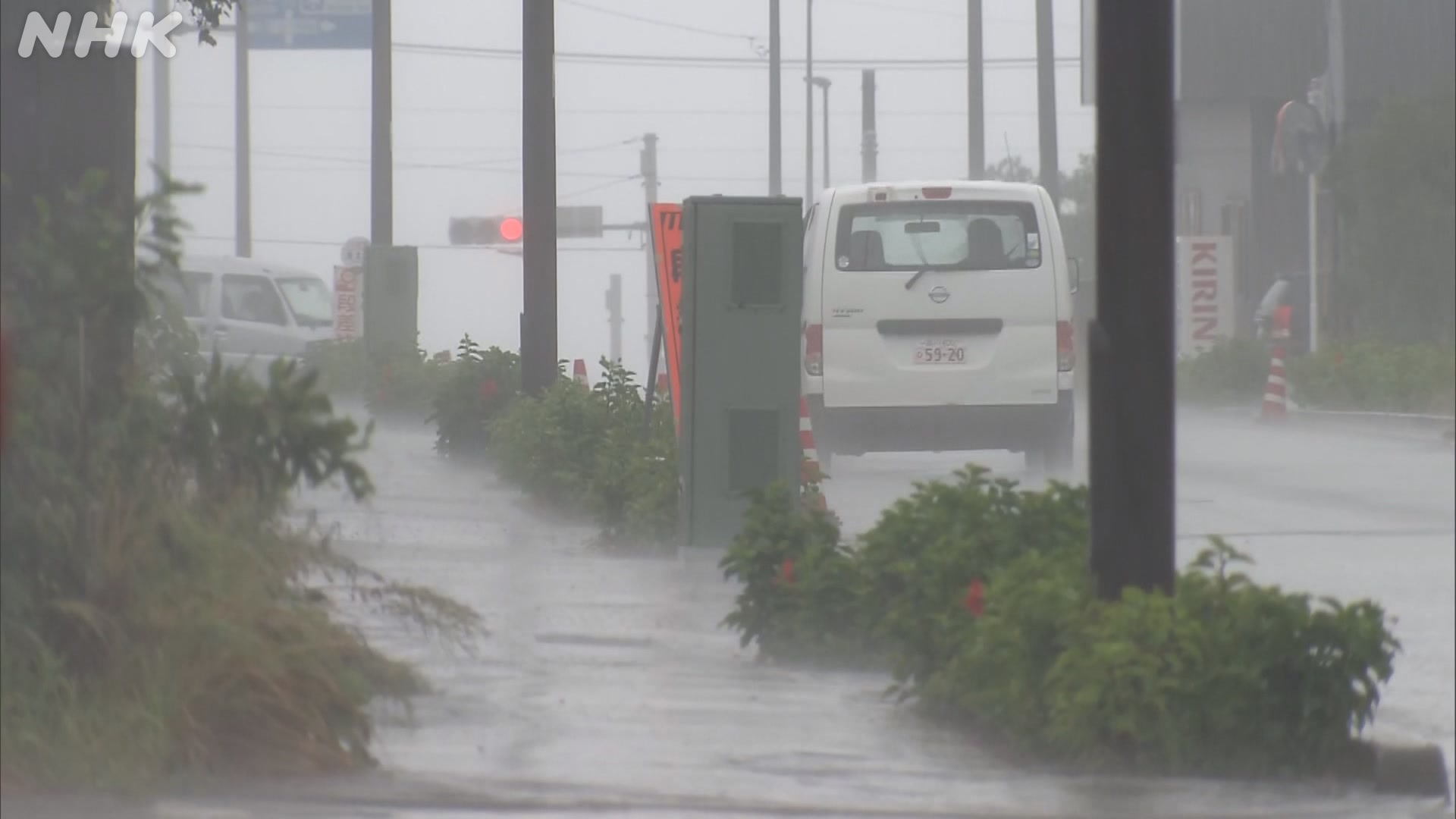
Tropical Storm Surigae is expected to approach the Izu Islands, south of central Tokyo, from Wednesday night through early Thursday morning.
The Japan Meteorological Agency says the storm was located over waters south of Japan, moving northeast at a speed of 15 kilometers per hour as of 9 a.m. on Wednesday.
Surigae has an atmospheric pressure of 1,000 hectopascals at its center. The maximum wind speed is 65 kilometers per hour, with gusts of up to 90 kilometers per hour.
Strong winds of 54 kilometers or more per hour are blowing within 220 kilometers south of the center and within 165 kilometers north of the center.
Rain clouds developed over the Izu Islands before the storm approached, bringing heavy rain of 31.5 millimeters per hour to Hachijojima Island in the hour to 10:30 a.m.
Winds in the area are expected to gradually strengthen. High waves are also forecast, reaching up to 5 meters in the southern part of the islands, and 3 meters in the northern part.
Torrential rain of 50 millimeters per hour with thunder is expected in the southern part of the island chain from Wednesday night through dawn. In the 24 hours through Thursday noon, the islands could receive 150 millimeters in the south and 60 millimeters in the north.
People in the area are urged to be on the alert for high waves and landslides. Caution is also advised for strong winds, lightning, and violent gusts. Rain may intensify on Thursday in Chiba Prefecture, near Tokyo, which suffered severe damage from recent record-level downpours.
The agency is calling on people to be on the alert for mudslides and swollen rivers. It says the risk of disasters could rise even if the rain is not heavy due to loosened ground and damage to levees.
The autumn rain front is bringing rain to wide areas along the Pacific coast from the Kanto to Tokai regions. Rain fell in central Tokyo for the 35th day in a row on Wednesday. That extends the record set the day before for the longest streak of consecutive rain since record-keeping began.
AloJapan.com