#Japan,#瀬戸内,#御手洗,#とびしま海道,#広島,#呉,#mitarai,#trip,#DJI,#island,#岡山,#Ninja,
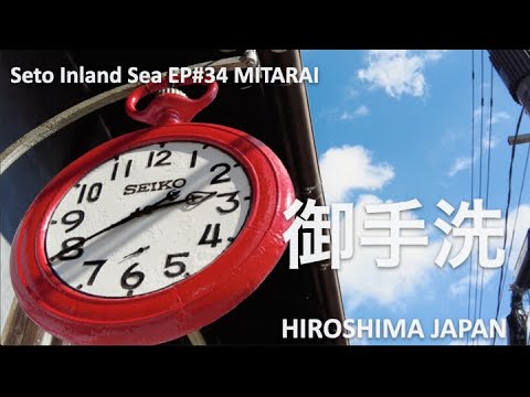
Mitarai is a port town on Osakishimojima (Kure City, Hiroshima Prefecture) in the Seto Inland Sea. In 1994, it was selected as an Important Preservation District for Groups of Traditional Buildings.
geography
It is a port town located at the eastern end of Osaki-Shimojima, one of the Geiyo Islands linked to the Seto Inland Sea. Hiroshima Prefectural Route 355 Osaki-Shimojima Loop Line runs around Mitarai Port, behind which Machiya townhouses spread out.
The Ocho district is located in the northwest direction. The east side is Okamura Island in Imabari City, Ehime Prefecture, and is connected by the Akinada Orange Line. In addition, the mainland of Kure City is connected by the Akinada Tobishima Kaido, so it can be said that it is connected to Honshu by land.
Located in Setonaikai National Park.
feature
Originally, it was a port town that expanded while repeatedly reclaiming land on a small piece of land. The townscape is characterized by its winding roads.
Most of the townhouses have a gable roof with a tile roof, and there are also modern buildings built after the Meiji period. As a port town on the islands of the Seto Inland Sea that prospered during the Edo period, there are mansions with lots of plaster and sea cucumber walls. Because the tax was based on the size of the frontage, the overall structure has a narrow frontage and a long depth.
Built in the late Edo period, Chisago Wharf is one of the largest existing wharves in Japan. These port facilities and the boathouses that continue along the beach from there are a good example of what Japanese port towns looked like before the modern era.


2 Comments
「風待ち 潮待ち 江戸港町」がキャッチフレーズの御手洗に行ってきました
🚸見たらいい町、御手洗マップ👉https://www.yutaka-kanko.jp/modelcourse/pamph.pdf
町並み保存地区は江戸時代、明治、大正、昭和初期までに建てられた貴重な建物が混在してて妙に懐かしさを感じました🙂
海を眺めると可愛らしい小さな島々が浮かんでてこれぞ多島美、その景色に感動しました。
Selamat pagi teman Semoga sukses