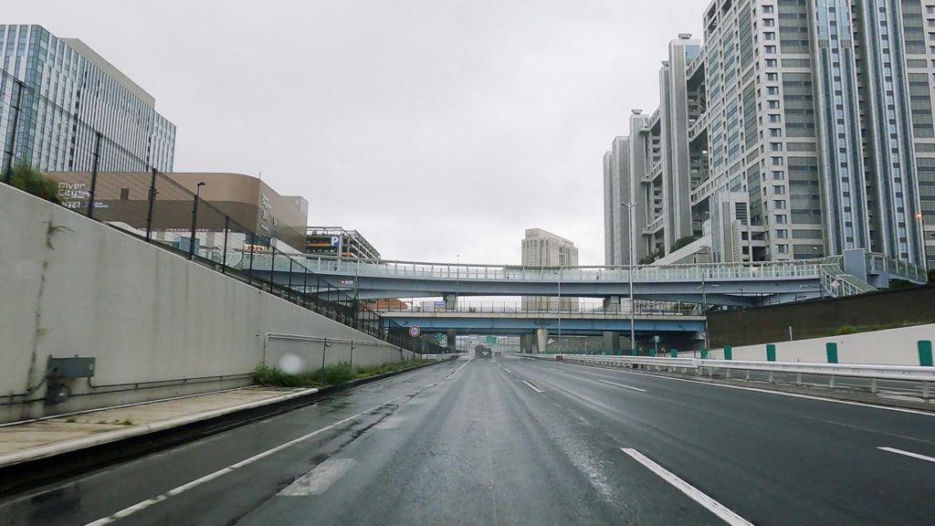
My GoPro HERO 8 just broke down on me a few days ago, and is now being repaired at the factory. Meanwhile, I just got myself a GoPro HERO 9!
Map:
Thank you for watching! We publish mainly driving videos from Japan.
If you like our videos, please consider subscribing to our channel.
Youtube:
00:00 Shutoko Hamamcho Interchange (Shutoko Fukagawa Route – Route 9)
06:14 Tatsumi Junction
07:07 Shutoko Wangan Line
21:51 Kawasaki-Ukishima Junction
23:29 Tokyo Bay Aqua-Line (Underwater Tunnel)
34:50 Kisarazu-Kaneda Interchange
41:10 Kisarazu Junction
44:51 Kisarazu Minami Junction
Shuto Expressway (首都高速道路, Shuto Kōsoku-dōro, lit. “Metropolitan Expressway”, where shuto also means “capital city”) is a network of toll expressways in the Greater Tokyo Area of Japan. It is operated and maintained by the Metropolitan Expressway Company Limited (首都高速道路株式会社, Shuto Kōsoku-dōro Kabushiki-gaisha).
(Wikipedia)
The Fukagawa Route (深川線, Fukagawa-sen), signed as Route 9, is one of the tolled routes of the Shuto Expressway system serving the Greater Tokyo Area. The route is a 5.3-kilometer (3.3 mi) long radial highway running south from the Tokyo ward of Chūō to the ward of Kōtō. It connects Tokyo’s Mukojima Route in central Tokyo to the Bayshore Route which connects Tokyo to its neighboring prefectures, Chiba Prefecture and Kanagawa Prefecture.
The Fukagawa Route is the northernmost of three routes linking the Bayshore Route to central Tokyo, as such, it primarily links Tokyo to destinations within Chiba Prefecture like Narita International Airport and the capital of the prefecture, Chiba. It is used less heavily than the more direct Komatsugawa Route and Keiyō Road to Chiba, so travel times along the Fukagawa Route to those destinations are often faster than the direct route.
Route 9 begins at Hakozaki Junction with the Mukojima Route in Chūō City above Tokyo City Air Terminal, a bus terminal for Airport Transport Service, an airport bus operator. From there it travels southeast crossing over the Sumida River into Kōtō City. Just before reaching Kiba Park the route turns south entering the part of Kōtō City made up of artificial islands on the northern edge of Tokyo Bay. Upon reaching the bay, the expressway terminates at Tatsumi Junction where it meets the bypass of Tokyo, the Bayshore Route.
(Wikipedia)
The Tokyo Bay Aqua-Line (東京湾アクアライン, Tōkyō-wan Akua-rain), also known as the Trans-Tokyo Bay Expressway, is an expressway that is mainly made up of a bridge–tunnel combination across Tokyo Bay in Japan. It connects the city of Kawasaki in Kanagawa Prefecture with the city of Kisarazu in Chiba Prefecture, and forms part of National Route 409. With an overall length of 23.7 km, it includes a 4.4 km bridge and 9.6 km tunnel underneath the bay—the fourth-longest underwater tunnel in the world.
(Wikipedia)
Narita International Airport Access Navigation
Haneda Airport Information
Camera: GoPro HERO9 Black
Filming Date: October 10, 2020
#TokyoSmith #tokyodrive #japandrive


AloJapan.com