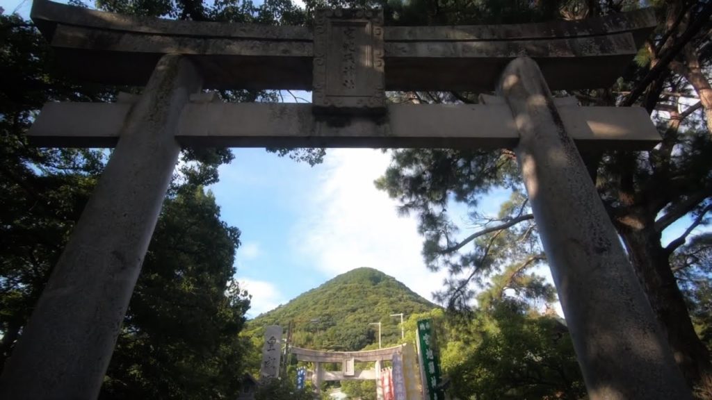
Miyajidake jinja is one of Fukuoka’s most well-known shrines. I took a walk behind the shrine and up Mt. Miyaji (just a hill really). There’s a longer, more scenic course that will do when it gets cooler. The shrine is a great place to see if you’re ever in Fukuoka.
DATA
Mt. Miyaji (宮地山) 180.7m, Miyaji, Fukutsu, Fukuoka prefecture, Japan, August 13, 2019, shot on GoPro Hero7 Black
Hike duration: 47mins
Start 16:41 – Mt. Miyaji 17:05 – Finish 17:29
Distance hiked: 2.8km
Cumulative up / down: 211m / 212m
Mt. Miyaji trail map:
My activity data and GPSX track:
ACCESS
Miyajidake shrine:
There are a lot of parking spots but I would avoid the first week of the year to avoid the crowds.
NOTES
Google maps names this mountain “Miyajiyama” and YAMAP names it “Miyajisan”.
I’m happy to answer any questions in the comments below. Happy hiking!
FOLLOW ME!
Twitter: @kyushutrail
Facebook:
Instagram: kyushutrail
YAMAP:


AloJapan.com