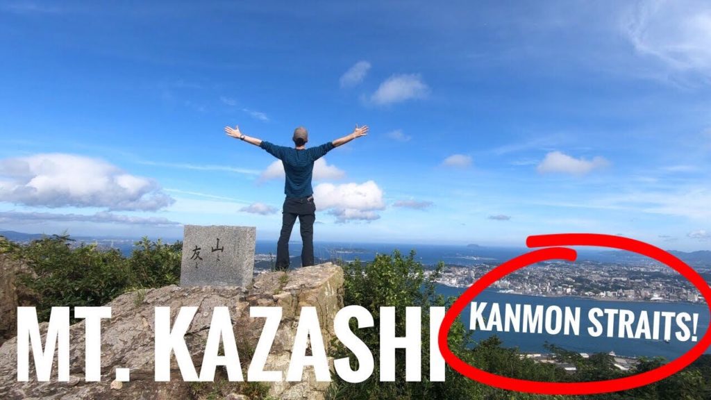
It was Mountain Day in Japan so how could I not go to the mountains! I hiked up Mt. Kazashi (Kazashiyama 風師山) from Komorie train station (小森江駅) to the newly renovated Mojiko station (門司港駅). The views of the Kanmon Straits (関門海峡) which separates the islands of Kyushu and Honshu and Kanmon Bridge (関門橋) were so good. This mountain was selected for the 100 Famous Mountains of Kyushu (九州百名山) (日本百名山協会). This is my favorite mountain under 500m in Fukuoka. I love hiking in Japan!
DATA
Mt. Kazashi 362m, Moji-ku, Fukuoka prefecture, Japan, August 11, 2019, shot on GoPro Hero7 Black
Hike duration: 3hrs 30mins
Start (Komorie station) 06:54 – Mt. Yahazu 07:29 – Mt. Kazashi 08:26 – Mt. Misumi 09:42 – Finish (Mojiko station) 10:25
Distance hiked: 9.1km
Cumulative up / down: 774m / 774m
Sekinoyama trail map:
My activity data and GPSX track:
ACCESS
Komorie station:
Mojiko station:
OTHER NOTES
The course was not difficult. The trail was a little overgrown in places but mostly clear.
Mt. Kazashi gets its name from a traditional Japanese ornamented hair pin called “kanzashi”. Apparently the mountain resembles one. I prefer my interpretation of the name: 風 “wind”, 師 “teacher, master” = WIND MASTER MOUNTAIN!
I’m happy to answer any questions about the course in the comments below. Happy hiking!
FOLLOW ME!
Twitter: @kyushutrail
Facebook:
Instagram: kyushutrail
YAMAP:


AloJapan.com