GPX file https://drive.google.com/file/d/1_cYBmUin3hvDq1xGYerhJBCN4e7XCMJl
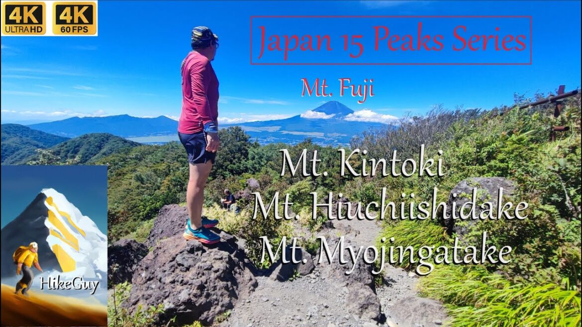
✅Mount Kintoki 1212m
✅Mount Hiuchiishidake 899m
✅Mount Myojingatake 1169m
Elevation gain 1099m, distance 12.8km, Trailhead via Kintoki Shrine 35.278140, 139.002460 and exit via Myojingatake trailhead and further to main road 35.253346, 139.051313
(⭐ Mount Kintoki ⭐ Hiuchiishidake ⭐ Myojingatake ⭐ Kanagawa ⭐ Japan ⭐ Fuji )
Trans Kintoki Hiuchiishidake Myojingatake Trail is 12.8km out-and-back trail near Gotemba, Kanagawa, Japan. Generally considered a moderately challenging route, it takes an average of 7 h 0 min to complete. This is a popular trail for backpacking, trail running and hiking, but you can still enjoy some solitude during quieter times of the day. The trail is open year-round and is beautiful to visit anytime. Mount Fuji can be viewed along the trail.
hiking,hiking documentary,solo hiking,thru hiking,backpacking,hiking tips,hiking alone,hiking gear,hiking clothes,hiking vlog


1 Comment
Outstanding atmosphere my friend!