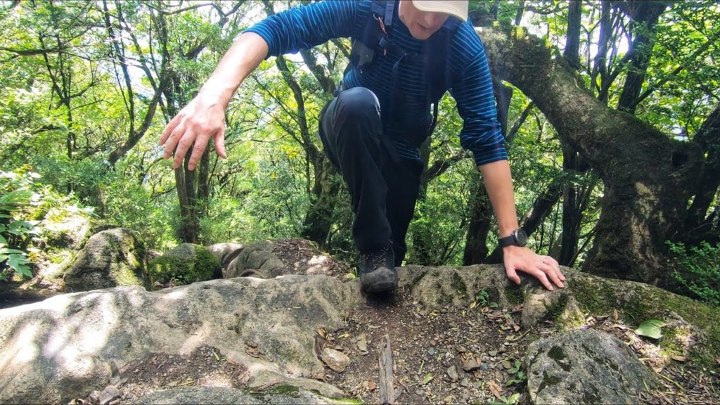
I climbed this Mt. Kosho (Koshosan) last September but I got a little lost, I dropped my camera and I didn’t get a good view at the top due to bad weather. But I got my revenge! I love hiking in Japan!
DATA
Mt. Kosho (古処山) 860m, Asakura, Fukuoka prefecture, Japan, September 8, 2019, shot on GoPro Hero7 Black
Hike duration: 3hrs 36mins
Start (Koshosan trail head) 11:10 – Mt. Kosho 12:49 – Finish (Koshosan trail head) 14:47
Distance hiked: 5.1km
Cumulative up / down: 794m / 750m
Koshosan trail map:
My activity data and GPSX track:
ACCESS
Akizuki trail head parking:
OTHER NOTES
The path has some damage from heavy rain but it’s not dangerous. Please check up-to-date information before you hike. Akizuki town surely looks better when the leaves change color. I’ll go back for a long walk around town next time.
Music by Kumori Beats (used with permission)
I’m happy to answer any questions about the course in the comments below. Happy hiking!
FOLLOW ME!
Twitter: @kyushutrail
Facebook:
Instagram: kyushutrail
YAMAP:


AloJapan.com