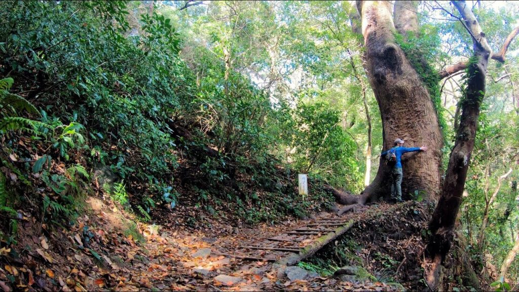
Fukuoka hiking! I climbed Mt.Tachibana (立花山 tachibanayama) to see the giant camphor trees in the forest and Tachibana castle ruins.
Mt. Tachibana 367m, Shingu town, Fukuoka prefecture, Japan, April 8, 2019, shot on GoPro Hero7 Black 4K
I had a little time this morning so I chose this short hike just a short drive from the wombat burrow (my house). The trees were so beautiful and the view is great at the top.
Hike duration: 1 hr 43 mins
Start 08:33am – Summit 09:16am – Finish 10:17am
Distance hiked: 3.1km
Cumulative altitude up / down: 426m / 428m
Mt. Tachibana trail map:
My activity data and GPX map:
ACCESS
Mt. Tachibana car parking on google maps:
Nearest bus stop: Tachibanaguchi (立花口)
Music used with permission by David Ashley (of Deep Sea Data
I’m happy to answer any questions about the course in the comments below. Happy hiking in Japan!
FOLLOW ME!
Twitter: @kyushutrail
Instagram: kyushutrail
YAMAP:


AloJapan.com