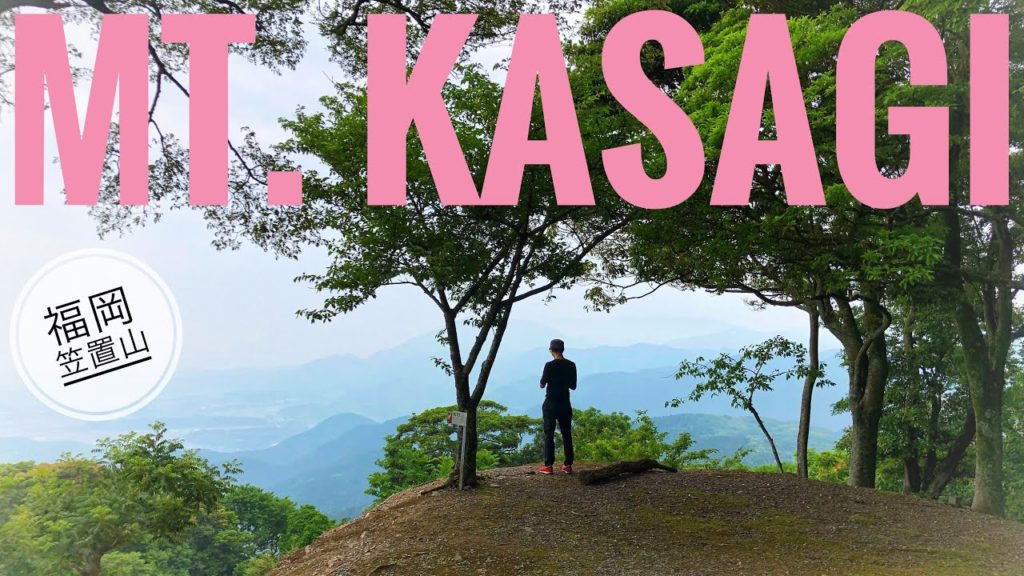
I took a friend up Mt. Kasagi for some coffee. It was a nice course. A little steep in places, but well marked. The bamboo trees were beautiful. The weather wasn’t great, but at least it didn’t rain!
Mt. Kasagi (笠置山) 425m (1,994ft), Miyawaka city, Fukuoka prefecture, Japan, June 2, 2019, shot on GoPro Hero7 Black
Hike duration: 2hrs 43mins
Start 09:02 – Mt. Kasagi 10:14 – Finish 11:46
Distance hiked: 6.5km
Cumulative up / down: 798m / 795m
Mt. Kasagi trail map:
My activity data and GPSX track:
ACCESS
Parking on Google maps:
(There are a few different places to park along this road)
There is a bus stop close to the trail head here: (千石峡入口)
Music used with permission by ‘Kumori Beats’
I’m happy to answer any questions about the course in the comments below. Happy hiking in Japan!
FOLLOW ME!
Twitter: @kyushutrail
Facebook:
Instagram: kyushutrail
YAMAP:


AloJapan.com