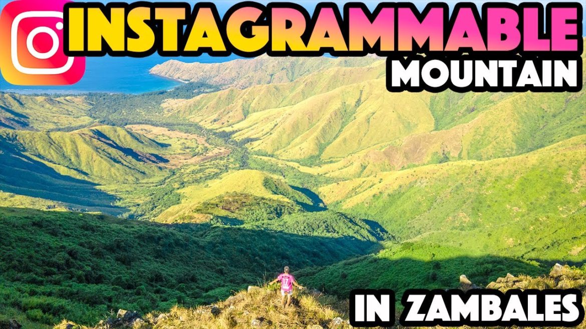
Mt Balingkilat is located in Subic in Zambales, which is roughly 100 km away from Manila. It’s one of the popular hiking destinations in Luzon, and you can find a tour on Facebook easily. I booked one of those listed tours on Facebook, and the itinerary was going up Mt Balingkilat and going down to Nagsasa Cove.
The meetup place was McDonald’s in Greenfield in Manila, and our van took us to the jump-off point of the hike from there. Our hike began in the pretty early morning and arrived at the summit around 8 am. The view from the peak was exceptional and pretty instagrammable. From there, we headed to Nagsasa Cove to get back to our van. The duration of the hike was like 11 to 12 hours in our case, so I’d advise you to prepare yourself because you hike Mt Balingkilat.
🎥 Check other hikes in Luzon
🏞️ Mt Napulauan
👉 https://youtu.be/F93ETENjzEo
🏞️ Mascap Trilogy
👉 https://youtu.be/wrcFrI7ujIs
🏞️ Mt Isarog
👉 https://youtu.be/hFlge_jeMg8
📍 Mt Balingkilat
📌 https://maps.app.goo.gl/NzdDEjdk8ba3xMua6
📍 Nagsasa Cove
📌 https://maps.app.goo.gl/TLdAm6ZgMhZTEVtD7
⏳ Timestamps ⏳
00:00 – Opening
00:42 – Manila to Zambales
01:42 – Going up Balingkilat
04:11 – Summit
07:33 – Going down to Nagsasa Cove
10:53 – Aeta Tribe
12:13 – Nagsasa Cove
13:25 – Approaching to the Summit of Balingkilat (Raw Footage)
#banlingkilat #nagsasacove #zambales


2 Comments
One of my favorite mountains ❤️
Great video, keep it coming!❤️