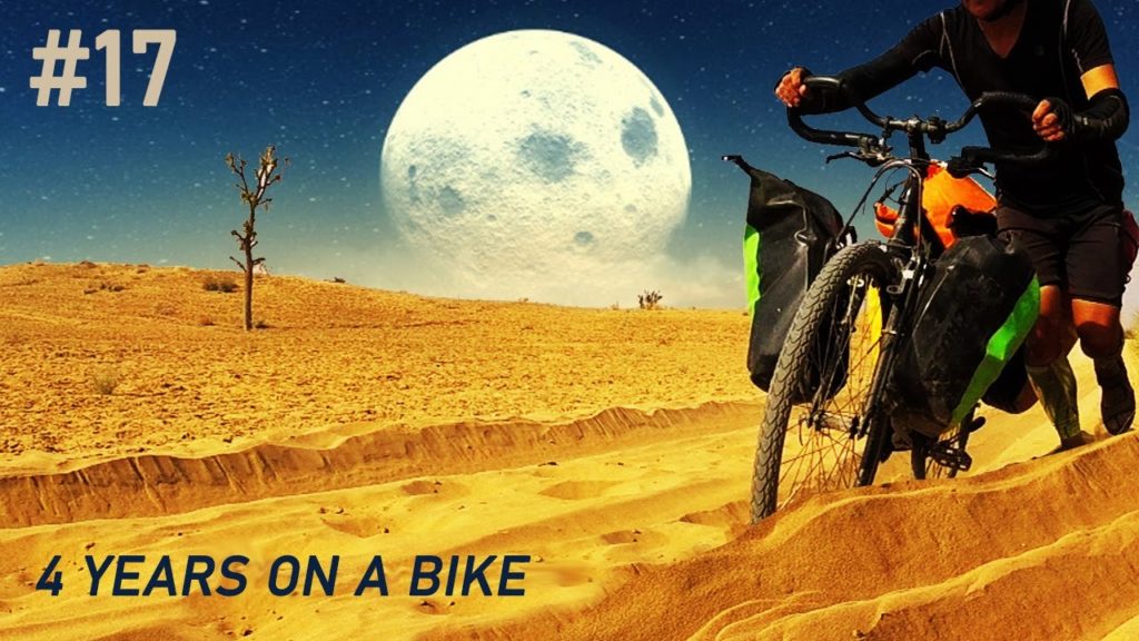
Bicycle touring via Great Indian Desert. See the desert moon among dunes and caravans and camels.
Thar (also known as the Great Indian Desert, Gurun Thar) – a desert located in western India and south-eastern Pakistan. Thar is mainly located in the Indian state of Rajasthan, although it also extends to the southern parts of the Hariana and Punjab states as well as to the northern part of Hariana. In Pakistan, the desert covers the eastern portion of Sindh Province and the south-eastern portion of Punjab Province, where it is known as the Cholistan Desert. It is situated in the part of the Indus Plain sheltered by the Deccan Plateau, in its left-bank part. It stretches from the north-east to the south-west, for a length of approx. 850 km. Mostly covered with sandy plains with barchans. The area of the Thar desert is 238,700 km². Travel, cycling via Great Indian Desert.
The history of the origin of the Thar desert is controversial among scientists. Some believe it is 4,000 to 10,000 years old. According to others, the aridity of this area began much later. According to this, the Thar is said to have only developed between 2000 BC. BC and 1500 BC After the Ghaggar stream dried up east of the Indus. Today the river only carries water periodically during the monsoons and silts up in the northeast of the Thar. With new remote sensing it was observed that in the late Quaternary climate change and shifts caused by plate tectonics had an important influence on the river courses and their drying out. Furthermore, numerous “paleo canals”, old dried-out river beds, were discovered. This is bicycle touring via Thar desert.
In the middle of the Cholistan lies the dried up river bed of the Hakra, the continuation of the Ghaggar in Pakistan.
Most of the studies agree that the paleo canals of the Sarasvati River coincide with the bed of today’s Ghaggar. They assume that Satluj and Yamuna once flowed to what is now the Ghaggar river bed. According to the studies, the Satluj was the main source of the Ghaggar. After recent tectonic activities, the Satluj shifted to the west, while the Yamuna shifted to the east, whereby the Ghaggar dried up. Have you seen deserts mystery and desert moon?
Remote sensing is largely useful for discovering the paleo canals in desert areas. Various digital techniques are used to analyze satellite images. Today’s apparently disorganized position of the rivers in Rajasthan is attributed by many researchers to climate change in the Quaternary, especially in the Holocene. There will be at night desert moon, caravans and camels and dunes. Have you found desert rose?
The Thar is a sandy desert that has numerous thinly overgrown dunes that can be up to 150 m high. Bicycle touring in India means cycling around the world out of the beaten track. There are three types of dunes: transversal, longitudinal and barchane. The longitudinal ones, which predominate, run from northeast to southwest, oriented according to the winds in the dry season. The transverse dunes, perpendicular to the wind direction, are mainly in the northeast of the Thar. The Barchane (sickle dune with protruding sickle ends) can be found in the Central Har. See the desert storm footage.
About 10% of the desert are shifting dunes, the rest consists of solid dunes, and transitions from dunes into exposed rocks and salt pans. Most of the area is without vegetation. Areas that are overgrown are generally dominated by grasses and shrubs. In the northwest, a belt of thorn bushes surrounds the desert.
Overall, the Thar slopes down into the Indus plain, the surface is mainly uneven because of the dunes. The highest dunes are in the south, in the north they only reach 16 m. The Aravalli Mountains in the south-east represent a demarcation, which with its humid climate also prevents the desert from expanding towards the east and the Ganges valley.
The soil of the arid zone is predominantly sandy, partly sandy-loamy. The consistency and depth depends on the respective topography. The flat-lying clay is heavier and can have hard pans made of clay, calcium carbonate, or plaster of paris. The pH of the soil is around 7 to 9.5. The fertility of the soil increases from west to east. Water is rare and occurs at a depth of 30 to 120 m.
Bicycle touring via hot are means cycling, trip around the world, too see deserts mystery. The climate is characterized by extreme temperature fluctuations, between freezing point in winter and up to 50 ° C in summer. Severe night frosts can damage vegetation in winter. The annual rainfall is less than 150 mm in the west to about 350 mm in the east on the edge of the Aravalli Mountains. In general, precipitation varies in extent and occurrence. Almost all of the rain falls during the southwest monsoon in thunderstorms from July to September. Look at the desert storm footage.


AloJapan.com