Map:
Thank you for watching! We publish mainly driving videos from Japan.
If you like our videos, please consider subscribing to our channel.
Youtube:
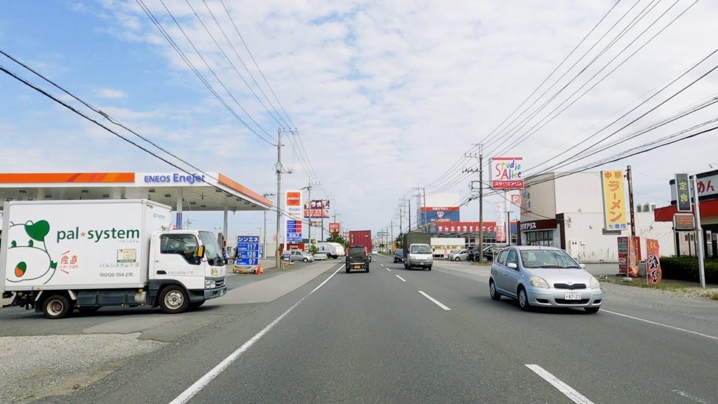
00:00 Togane-shi, Chiba Pref.
07:55 Sanmu-shi
22:36 Yokoshibahikari-machi
31:33 Tako-machi
Tōgane (東金市, Tōgane-shi) is a city located in Chiba Prefecture, Japan.
As of December 1, 2015, the city had an estimated population of 60,748, and a population density of 682 persons per km². The total area is 89.12 square kilometres (34.41 sq mi).
Tōgane is home to the Kurenai-kai School of Japanese embroidery, which produces handmade obi and kimono in the traditional Japanese style.
Tōgane is located in north-center of Bōsō Peninsula at the border of the Bōsō Hill Range. It is approximately 50 kilometers from downtown Tokyo.
Tōgane is known for strawberry picking in February and March. Strawberries are grown in greenhouses. Because there is not much industry remaining in some rural areas of Japan like Tōgane, antique markets are gaining popularity as old farmhouses are torn down.
(Wikipedia)
Sanmu (山武市, Sanmu-shi) is a city located in Chiba Prefecture, Japan. It is bordered by the Pacific Ocean to the east.
As of April 1, 2012, the city has an estimated population of 55,054, and a population density of 376 persons per km2. The total area is 146.38 km2.
Due to mixed plantings of pine, Japanese cypress, and Japanese cedar, Sanmu was a center of wood production until 1923 at the end of the Taishō period. Many in the town remain active in the woodworking and carpentry trade. Small-scale agriculture in Sanmu produces a variety of fruits and vegetables, but the town is noted for carrots, watermelon, peanuts. The town also attracts tourists to its numerous strawberry farms. Sanmu serves as a bedroom community for nearby Chiba and Tokyo, and housing development continues in the city.
(Wikipedia)
Yokoshibahikari (横芝光町, Yokoshibahikari-machi) is a town located in Chiba Prefecture, Japan. As of April 2012, the town had an estimated population of 24,315, and a population density of 363 persons per km2. The total area is 66.91 km2.
Yokoshibahikari is located in northeastern Bōsō Peninsula, bordered by the Pacific Ocean to the east. The town lacks a center, but instead consists of a collection of hamlets scattered over the countryside extending from the Yokoshiba Station on the Sōbu Main Line. Given such sparse structure, it takes quite a long time for the bus lines to serve the whole town. The coastal area of Yokoshibahikari, which makes up part of Kujūkuri Beach, is protected as part of Kujūkuri Prefectural Natural Park.
Agriculture has been a mainstay of the economy of Yokoshibahikari since early times. The town has a cool winter and mild summer. Other than extensive rice cultivation, the town is a center of production of negi, the Welsh onion, tomatoes, and kabocha, a Japanese variety of winter squash. Pig and dairy farms are also found in the town. The town traditionally produced ceramics. In 1991 the northern part of the town was designated as the Yokoshiba Industrial Park due to its close proximity to Narita International Airport.
(Wikipedia)
Tako (多古町, Tako-machi) is a town located in Chiba Prefecture, Japan. As of April 2012, the town had an estimated population of 15,590, and a population density of 215 persons per km². The total area is 72.68 km².
Tako is located in the northeastern portion of Chiba prefecture, and the majority of the land is flat. Located on the Shimōsa Plateau and the Kujūkuri Plain, the Kuriyama River flows through the centre of the town.
Tako has been inhabited since prehistoric times, and archaeologists have found dugout canoes and graves from the Jōmon period, and rice paddies from the Yayoi period. The area also has numerous tumuli from the Kofun period, from which haniwa pottery has been recovered. During the Heian period, it was divided into shōen controlled by the Fujiwara clan and came under the control of the Chiba clan in the Kamakura period. During the Edo period, it was tenryō territory within Shimōsa province ruled directly by the Tokugawa shogunate via hatamoto administrators.
After the Meiji Restoration, Tako village was established on April 1, 1889 within Katori District of Chiba Prefecture. Tako was elevated to town status on June 29, 1890.
Tako is a regional commercial center, and agricultural center. In addition to rice, an important economic factor is animal husbandry, most significantly intensive pig farming.
(Wikipedia)
Narita International Airport Access Navigation
Haneda Airport Information
Camera: GoPro HERO8 Black
Filming Date: October 6, 2020
#TokyoSmith #tokyodrive #japandrive


AloJapan.com