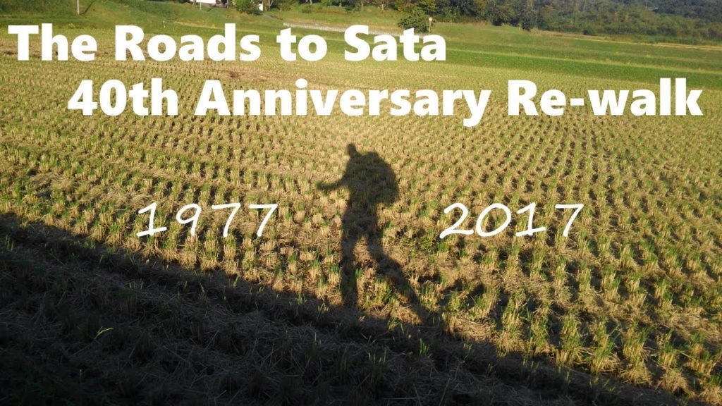
This is the first in a short series of videos I’m putting together to recount my 2017 re-walk of Alan Booth’s original 1977 ‘Roads to Sata’ route through Japan from north to south. I used photos snapped on my mobile phone as the source material.
There are quite a few shots of seemingly pedestrian (ooh, bad pun) and generic places and sights, although careful readers of ‘The Roads to Sata’ may notice that they are actually locations of memorable moments from the book itself. If there is enough demand, I am thinking to put together a narrated video highlighting many of the more ‘important’ photos and how they related to the book.
Time permitting, I will also add direct timestamp links to this description, going forward. For example:
04:52 – The ryokan in Tobetsu that Alan stayed at on day 14
05:11 – ‘Okutan campsite’ on Lake Shikotsu
more coming…
Folks familiar with my twitter feed will recognize some of the photos. My apologies in advance for all the pics of my mug… this video is basically a 40-minute long camera roll!
Lastly I’d like to say that this video is dedicated to the lovely people of Kumamoto Prefecture, and specifically the people so badly affected by the recent flooding in the Kuma River valley. My walk through Kuma Village, Ashikita Town, and the city of Hitoyoshi were among the most enjoyable days of my walk (days 116 & 117). It’s been heartbreaking to see an area I remember so well and so fondly suffer tot he extent it has.


AloJapan.com