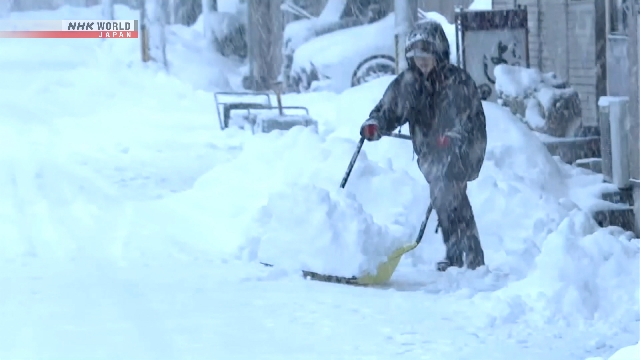
Weather officials say heavy snowfall from Japan’s Hokuriku to Sanin regions has peaked. But they say people should stay alert for possible traffic disruptions with snow expected to intensify intermittently, especially in northern Japan.
The Japan Meteorological Agency says a strong winter pressure pattern caused snow to pick up from Hokuriku to Sanin, from Saturday night through Sunday morning.
The heavy snowfall has passed its peak as the winter pressure pattern has begun to gradually ease from the west. But snow continues to fall mainly in Hokkaido and the Tohoku region, becoming heavier in some places.
As of 6 p.m. on Sunday, accumulation reached 462 centimeters in the Sukayu area of Aomori Prefecture, and 262 centimeters in the Sumon district in the city of Uonuma, Niigata Prefecture.
Snow is forecast to intensify intermittently from Hokkaido to Niigata.
In the 24-hour period through Monday evening, up to 70 centimeters of snow could fall in Tohoku, 50 centimeters in Hokkaido, 40 centimeters in Niigata and 30 centimeters in the northern Kanto region.
People are advised to stay cautious about avalanches, power outages and snow falling from rooftops.
Another cold air mass could flow in around Thursday to Friday, bringing heavy snowfall mainly to northern and eastern Japan along the Sea of Japan coast.


AloJapan.com