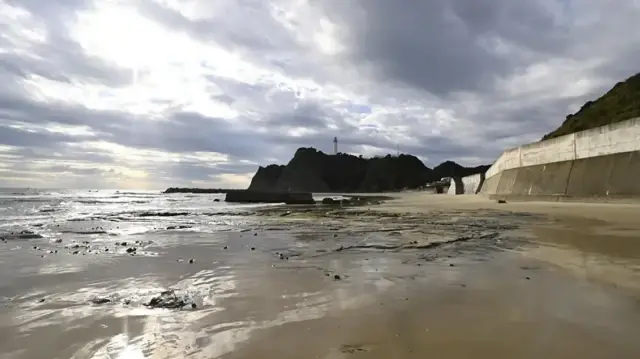
A significant earthquake measuring 6.8 on the Richter scale struck off Japan’s eastern coastline Sunday, triggering immediate tsunami warnings for coastal communities. The seismic event occurred near Iwate prefecture at a shallow depth of 10 kilometers, raising concerns about potential tsunami impacts.
Earthquake Details and Timing
The United States Geological Survey recorded the tremor occurring at 0803 GMT near Japan’s northeastern coast. The quake’s relatively shallow depth of approximately 10 kilometers (6.2 miles) increased its potential to generate tsunami waves, prompting rapid response from Japanese meteorological authorities.
Tsunami Warning and Forecast
The Japan Meteorological Agency swiftly issued a tsunami alert for Iwate prefecture’s eastern coastline following the seismic activity. Officials warned that waves reaching up to 1 meter (3.28 feet) in height could impact coastal areas, urging residents in low-lying regions to evacuate to higher ground immediately.
Regional Seismic History
Japan’s eastern coastline remains particularly vulnerable to seismic events due to its position along the Pacific Ring of Fire. The region has experienced numerous significant earthquakes and tsunamis throughout history, including the devastating 2011 earthquake and tsunami that caused widespread destruction and the Fukushima nuclear disaster.
Emergency Response Protocols
Japanese authorities have activated standard emergency procedures following the tsunami warning, including coastal evacuations and alerts through the nationwide emergency broadcast system. The country’s sophisticated early warning infrastructure provides critical minutes for evacuation between earthquake detection and potential tsunami impact.


AloJapan.com