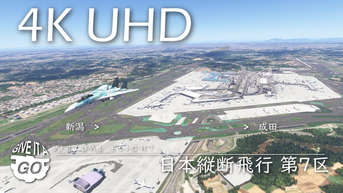
4K – Flight across Japan / Section 7 (Japanese) – Virtual Scenic Flight 054.JA
Virtual Scenic Flight 054.JA: Flight across Japan / Section 7
(This flight is a Japanese version of Flight 054: https://youtu.be/0P4k8F32YaA)
It is the seventh section of the ambient video flight across Japan. The flight route starts from Niigata Airport in Niigata prefecture, goes through Gunma, Tochigi and Ibaraki, and lands at Narita International Airport in Chiba prefecture.
Flight route:
– Take off westwards on runway 28 at Niigata Airport, Niigata Prefecture.
– After take-off, heading south over the Echigo Plain
– From Nagaoka to the southeast in the direction of Uonuma.
– Over the Echigo Mountains and fly over the Kanto Plain.
– Chiba Prefecture, over Narita Airport.
– U-turn and land on runway 34L.
Flight sections up to this point:
Section 1 – Wakkanai to Asahikawa Flight 032(https://youtu.be/fP9EgSE2gj4)
Section 2 – Asahikawa to Chitose Flight 033(https://youtu.be/c2_pcck7eC4)
Section 3 – Chitose to Hakodate Flight 034(https://youtu.be/kBYvVSFNvfY)
Section 4 – Hakodate to Akita Flight 050(https://youtu.be/xx8PRpbR4WY)
Section 5 – Akita to Sendai Flight 051(https://youtu.be/vSGe3ECTcQg)
Section 6 – Sendai to Niigata Flight 053(https://youtu.be/a_qPPBCaQiI)
Section 7 – Niigata to Narita Flight 054(this video)
====
Source: The Prefecture boundary is rendered based on the information obtained from the following website.
“Kokudo Suuchi Joho (Gyosei kuiki data)” (Kokudo Kotsusho) (https://nlftp.mlit.go.jp/ksj/gml/datalist/KsjTmplt-N03-v3_1.html) (Downloaded:23 March 2025)
– Kokudo Suuchi Joho (Gyosei kuiki data): “National Land Numerical Data (Administrative Area Data)”
– Kokudo Kotsusho: Ministry of Land, Infrastructure, Transport and Tourism


AloJapan.com