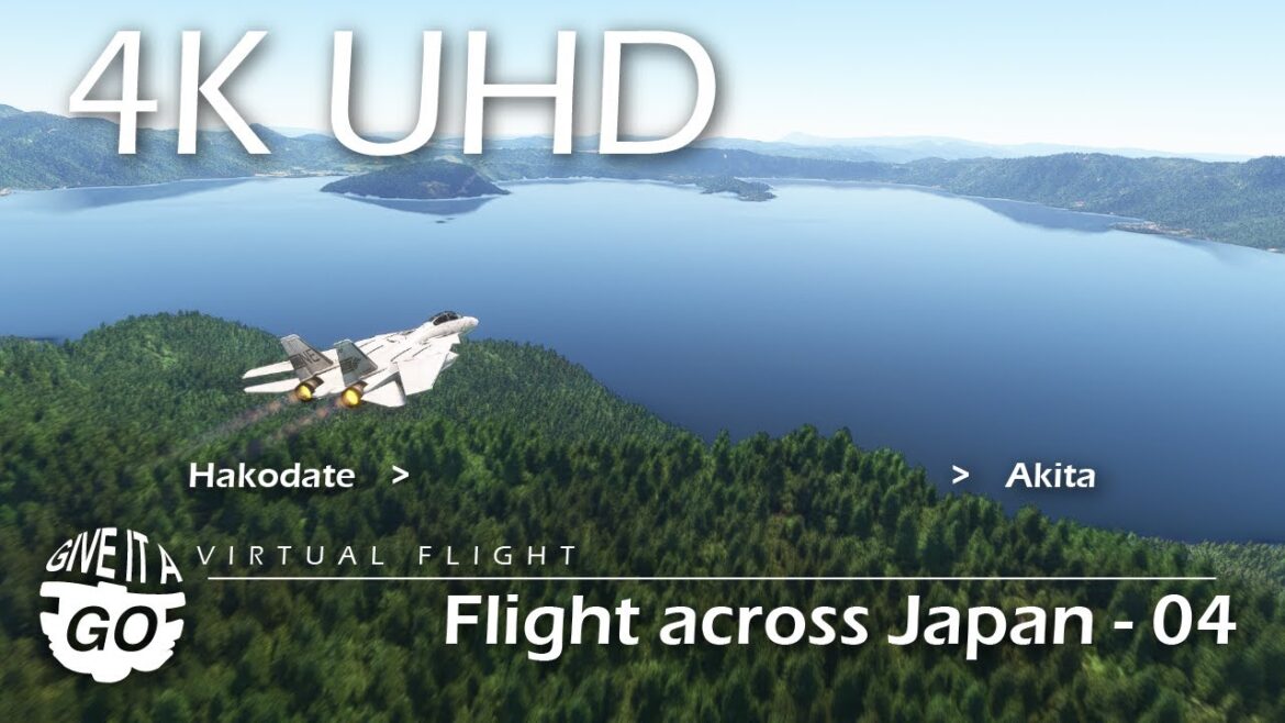
4K – Flight across Japan / Section 4 – Virtual Scenic Flight 050
Virtual Scenic Flight 050: Flight across Japan / Section 4
(Japanese version of this flight is Flight 050.JA: https://youtu.be/faon2uIM8mk)
The fourth section of the flight across Japan. It is more ambient video-like flight this time.
After taking off from Hakodate Airport, we fly gently in a straight line through the Tsugaru Straits, Aomori and Iwate Prefectures, changing course from Morioka City to Akita Airport in Akita Prefecture.
Flight Route:.
– Takeoff from Hakodate Airport Runway 12 in an easterly direction.
– Turn south and fly over the Tsugaru Straits
– Pass Aomori City and Lake Towada, and fly south over Iwate Prefecture.
– Turn west from Morioka City to Akita Prefecture
– After passing Lake Tazawa, land on runway 28 at Akita Airport.
Flight sections up to this point:
Section 1 – Wakkanai to Asahikawa Flight 032(https://youtu.be/fP9EgSE2gj4)
Section 2 – Asahikawa to Chitose Flight 033(https://youtu.be/c2_pcck7eC4)
Section 3 – Chitose to Hakodate Flight 034(https://youtu.be/kBYvVSFNvfY)
Section 3 – Hakodate to Akita Flight 050(this video)
Source: Prefecture boundary is rendered based on the information obtained from the following website.
“Kokudo Suuchi Joho (Gyosei kuiki data)” (Kokudo Kotsusho) (https://nlftp.mlit.go.jp/ksj/gml/datalist/KsjTmplt-N03-v3_1.html) (Downloaded:23 March 2025)
– Kokudo Suuchi Joho (Gyosei kuiki data): “National Land Numerical Data (Administrative Area Data)”
– Kokudo Kotsusho: Ministry of Land, Infrastructure, Transport and Tourism


AloJapan.com