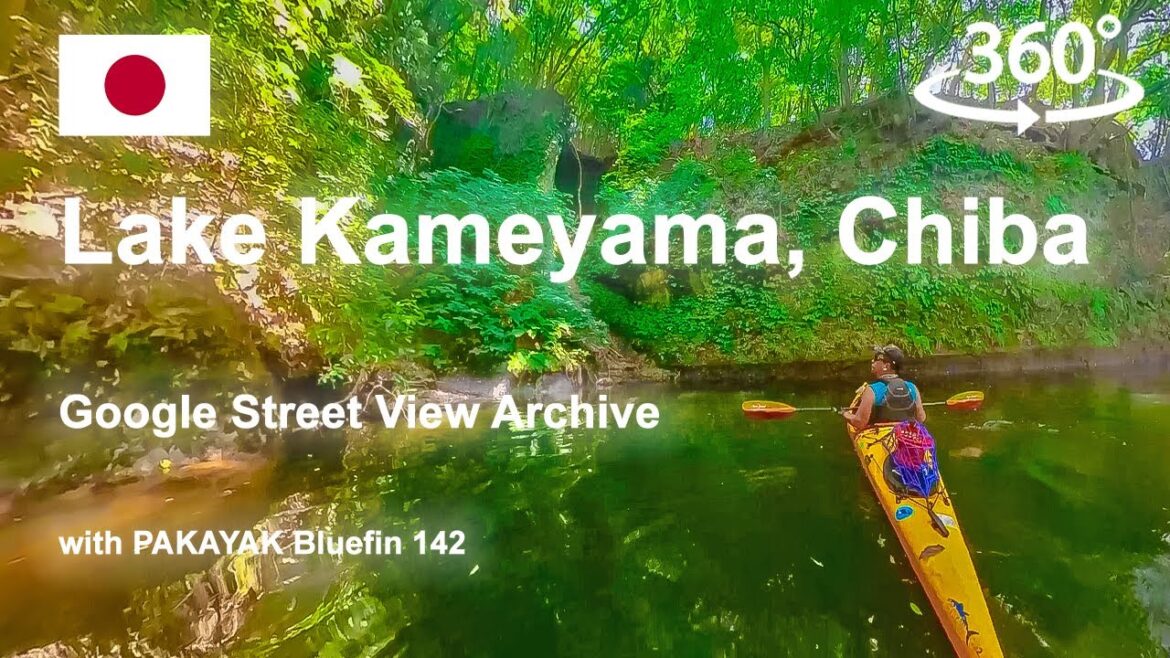
Google Street View: Lake Kameyama, Chiba with PAKAYAK @googlemaps @insta360 @PakayakKayak #insta360
Set 2160 4K for the best video quality!
Google Street View
https://maps.app.goo.gl/pnmB58tWzMSfEfmV8
https://www.strava.com/activities/11844021408
Lake Kameyama locates in the central region of Boso Peninsula, Chiba Prefecture. Besides its famous oceanic scapes, the Boso Peninsula has pretty unique mixture of inland geographical features ; wide open paddy fields, deep forests, series of low mountains with gorges, and rivers and lakes between them. Interestingly, this semi-wilderness region is only one hour away from urban city area of Central Chiba by car. And not only Chiba actually, thanks to Tokyo Bay Aqua-Line, a bridge-tunnel hybrid toll across the Tokyo Bay, connecting Yokohama, Kanagawa and Kisarazu, Chiba, the driving times to Boso are similar from Tokyo and Yokohama.
At Lake Kameyama, the launching point for the paddlers is located by the west bound parking lot called Sasa. Once you take off from there, you will be welcomed by spacious body of water accompanied with narrower creeks that you can venture into. This dam lake is surrounded by a valley and has many streams, and walking through them gives the illusion of exploring through a jungle.
I leave some footprints on Google Street View by uploading data I captured. Most of them are from my little expeditions on and around water, such as rivers, lakes and bays. I’m also pretty big on bike touring, so some of them are from my bike trips. Current Google Street View requires 360 video footages with matching GPX data to make them appear on the Google Map. These are the actual footages I have uploaded.
@googlemaps
@insta360
@PakayakKayak
@AquaBoundTV
@NRS
@PaddlingMagazine
#googlemap #streetview #pakayak #aquabound #kayaking #keen #nrs #oakely #insta360 #lakekameyama #japan

